Starting the hike to the glacier at 1500 meters at 6 pm, we had only 3 hours of daylight. Around 9 am it was completely dark and we were walking by the light of a phone flash along a very clear path, but eventually our path ran into the glacier and we saw no more signs, so we decided to go up the glacier.
After walking a dozen or so meters on slippery snow at an angle of about 30 degrees, we realized that this was too much even for an expert level trail (this trail had a black mark, i.e. 5th, the highest, difficulty level). So we started looking for signs indicating where to go. There were two ways: either up the glacier or up the rocks. We decided to climb a little on the rock and look at the large rocks there, where signs in the shape of the letter "T" are usually drawn. The flashlight in the form of a phone flash was not very good, because it shone at a short distance, so it was difficult to look for signs. After half an hour, we finally found a sign on the rock and saw a path that went up the ridge of the mountain between large rocks. It's good that we didn't have to go along the glacier, we went further towards the hut, which according to the map was still no more than a kilometer away.
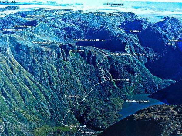
Trail map. Breidablikk and Fonnabu are huts with their altitudes indicated. In the dark, we were already walking from about Vetlavatnet, and ran into a glacier without signs near Botnahorga. From there, we had to walk along a difficult part of the trail, a steep climb over rocks, and in the dark this is a bit difficult. At first, we even passed the first hut, passing it by about fifty meters.
Around midnight, when the moonlight was already illuminating the mountains, we reached the first hut on the trail – Breidablikk. Quite small, only 4 places, but very cozy, especially after such a night climb. The altitude is 1322 meters.

This is the toilet next to the hut. Going to the toilet at night in complete darkness at an altitude of over 1300 meters is not a pleasure.

View of the hut the next day. We went further to reach the glacier, where there is another hut.

There was a cliff about 50 meters high next to the first hut. At night, this place looked like some kind of black hole, the moonlight did not reach there, so we thought that a lake began in a couple of meters. But when we threw a stone down to find out the height of the “bank” by the sound, we literally froze for about five seconds, because the stone was flying all this time. We immediately lost the desire to stand on the “bank” of this “lake”. During the day, it looks quite ordinary.
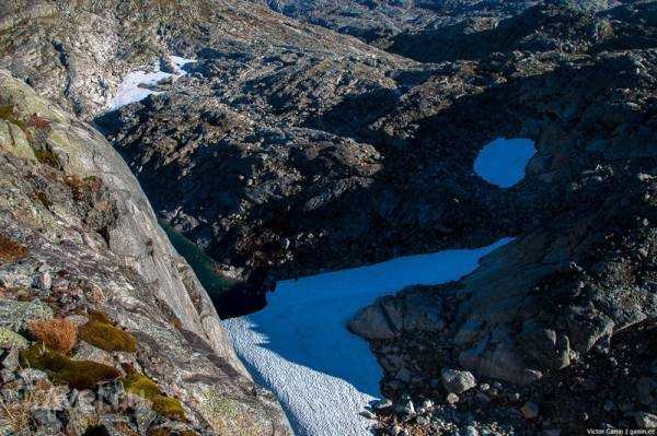
The entire road to the next hut, which was located just a few kilometers from the first, went along the ridge of the mountain, and along the edges there were cliffs with glaciers and glacial lakes.

Part of the Folgefonna glacier is already visible.

We climb higher, the altitude is about 1600 meters, and a view of the beginning of a huge glacier opens up.
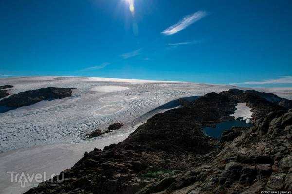
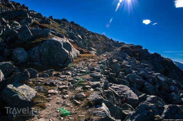
You can already see the next hut. It seems like there is not much to go, but the road constantly goes up and down, and sometimes even over some huge boulders. This is definitely one of the most interesting trails.
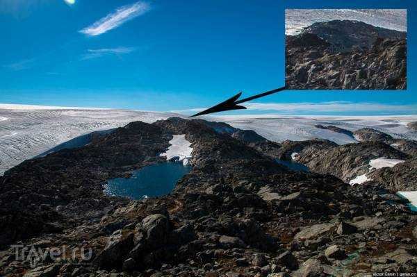
Finally we reached the Fonnabu hut, altitude 1450 meters.
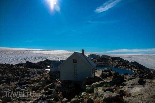
In total, there are two large huts in this place for 2-3 dozen people, and a little further there is a very small hut in the form of a tent, for two, almost at the very edge of the glacier.
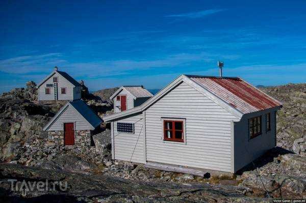
Next to the hut there is a small glacial lake from where water is collected.
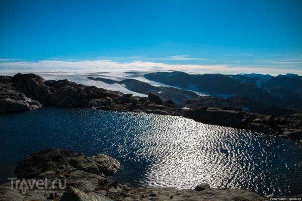
There is another lake nearby, a little bigger. You can swim in it, which is what Alex did. I myself am not a fan of freezing in such water, especially when a strong wind blows from the glacier.

The water in this swimming lake is very clear.
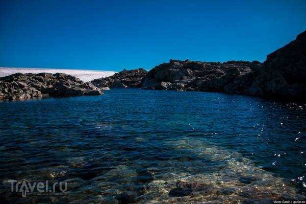
The huts and the glacier are separated by a gorge, which is not so easy to descend into.

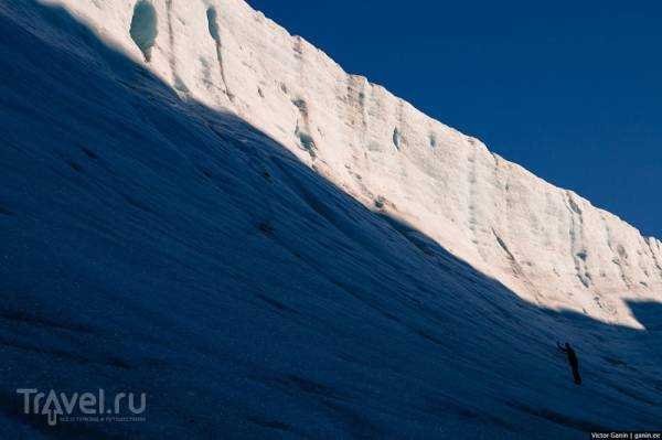
On one side there is a rock, on the other there is a wall of ice to protect the 7 kingdoms from the white walkers.
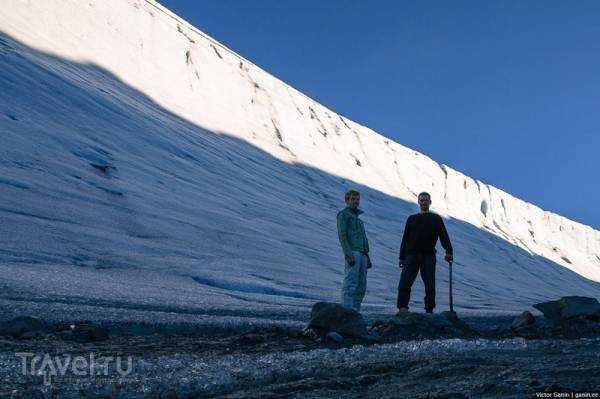
The height of the wall is approximately 30 meters.

At first we thought it was possible to climb it. But after the first attempt we realized that we couldn't do it without ice axes. The crampons we took from the shed next to the hut didn't help. The ice is very strong and slippery.
We decided to go back the next day, because we had spent half a day having fun at the glacier, trying to break the multi-year layer of ice with a stone and riding on the glacier in an iron basin.
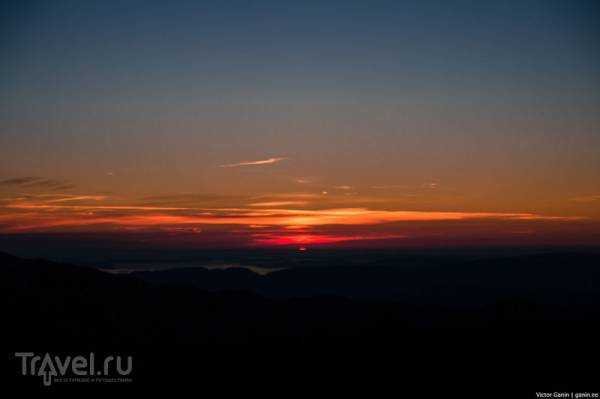
The view from the cabin window. It looks cool, but it's definitely hard to live with such a view.

A huge glacial lake.

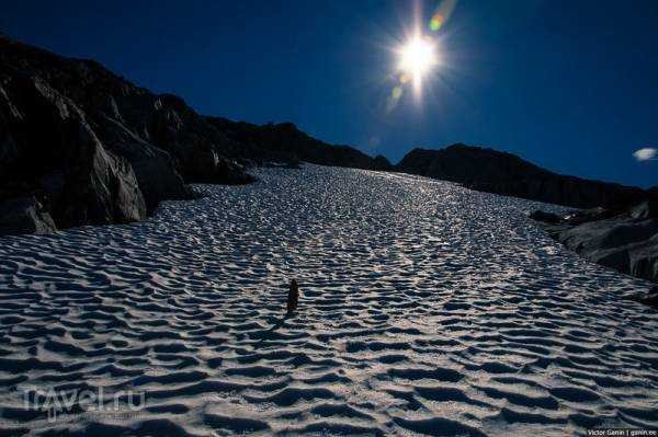
Here is the same small glacier we climbed at night. In fact, the path goes across this glacier in width. But since we did not find any signs at night, we first started climbing up. It's good that we did not go all the way to the end.
Another lake, a couple of hundred meters wide.

On the right you can see the path we followed.

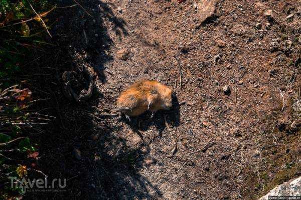
On the way we found a sunbathing hamster.
The view of the lake is already from the shore. You can swim and fish. The water here is already a little warmer than above.

Private houses. The height here is 700 meters.

From here there is already a completely normal path going down.
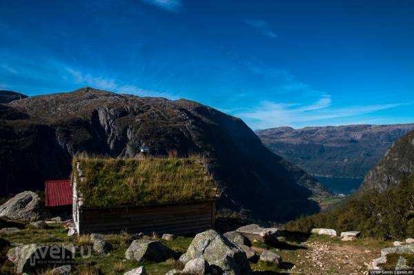
Another glacial lake. The water in it is not transparent, but it is a very interesting color.

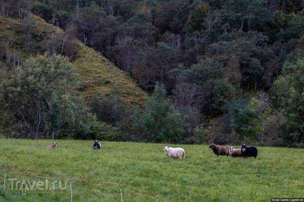
We went down and met old friends there. During the time we were wandering around the glaciers, nothing happened to them. However, like most people.
And then we went to Oslo, where our journey through Norway will end, in order to follow the summer to the south of Europe, to sunny beaches and a warm ocean.
Source: travel.ru

